Construction of the Final Groundwater Remedy
Phase 1 Construction Project Initiation Meeting held October 2, 2018
A Phase 1 Construction initiation meeting was held on October 2, 2018, in Needles, California. Over eighty individuals participated in the initiation meeting, including representatives from DOI, DTSC, the U.S. Fish and Wildlife Service, Native American Indian Tribes (Fort Mojave Indian Tribes, Chemehuevi Tribe, Cocopah Indian Tribe, and the Colorado River Indian Tribes), and key construction contractors involved in the initial construction activities. The initiation meeting covered initial construction activities and schedules, PG&E’s health & safety expectations, DOI’s and DTSC’s expectations, and perspectives of the Tribes.
Construction of the Final Groundwater Remedy Has Begun
Current Construction Activities:
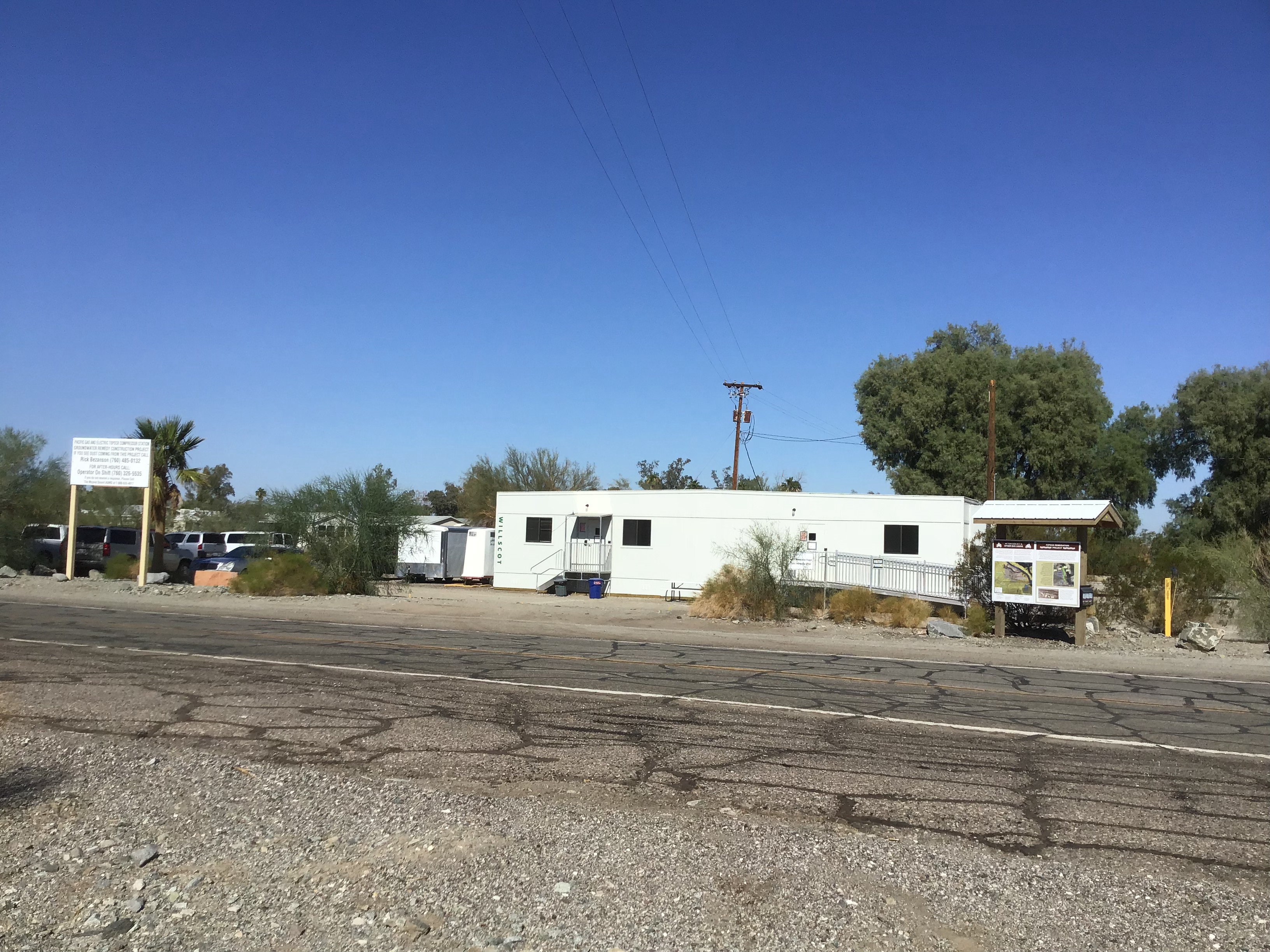
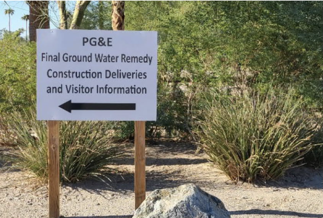
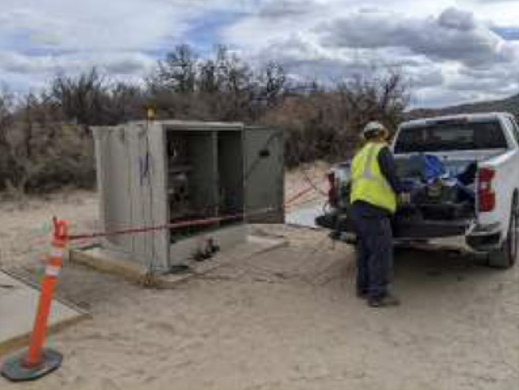
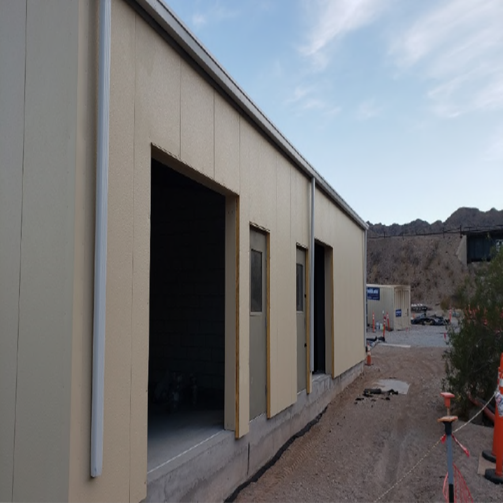
- Established a Public Information Trailer in September 2018 (see first figure below this bullet). The Public Information Trailer provided walk-in access for interested individuals to learn about the PG&E project. The trailer was a place where the public could visit for information regarding the project. As Phase 1 construction activity was near completion in Q3 2021, the Trailer was demobilized and its visitor information function was transferred to a trailer located at the Soil Processing Yard. A sign was placed at the corner of Park Moabi Road and National Trails Highway to direct visitors to the new trailer (see 2nd figure below this bullet).
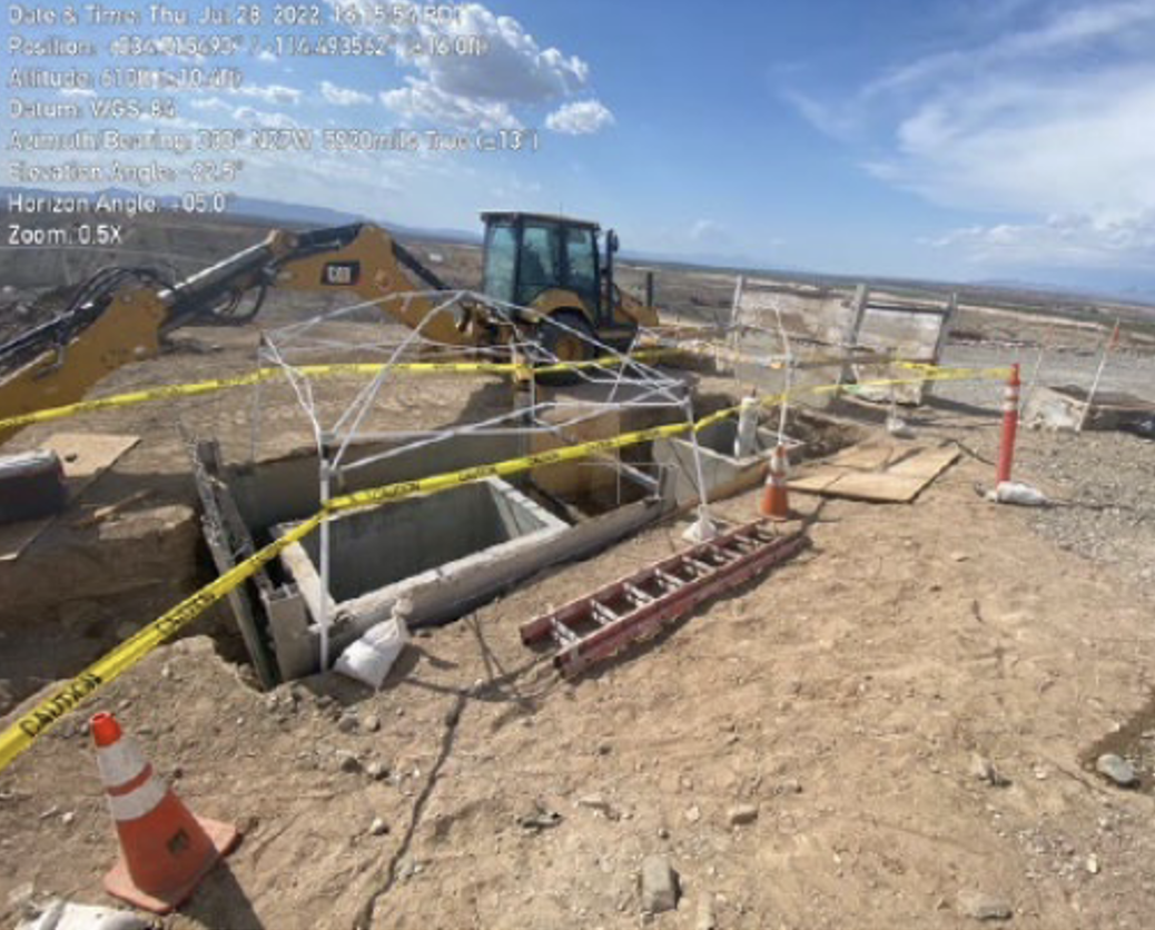
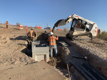
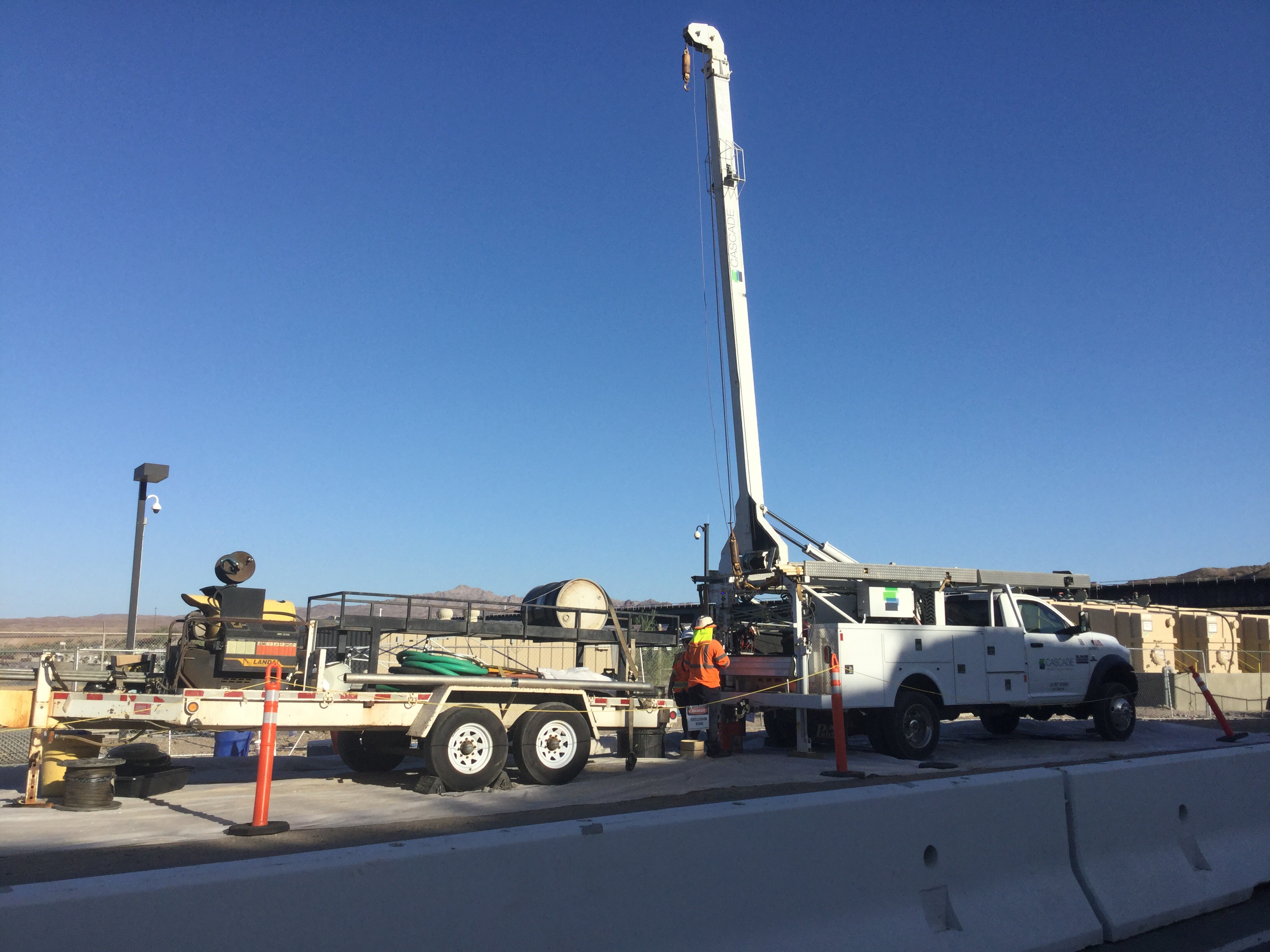
- Photograph showing TCS-1 well vault set. Photograph taken in July 2022.
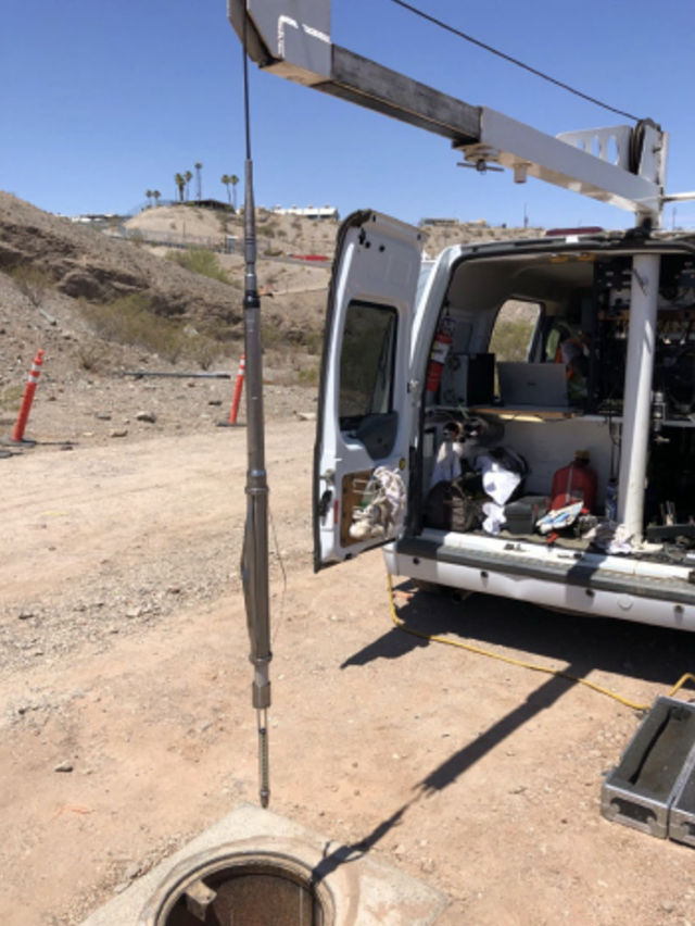
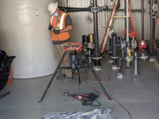
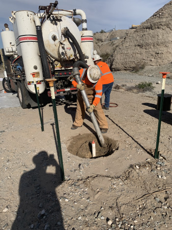
- Photograph showing downhole camera survey at MW-38D being conducted. Photograph taken in June 2022.
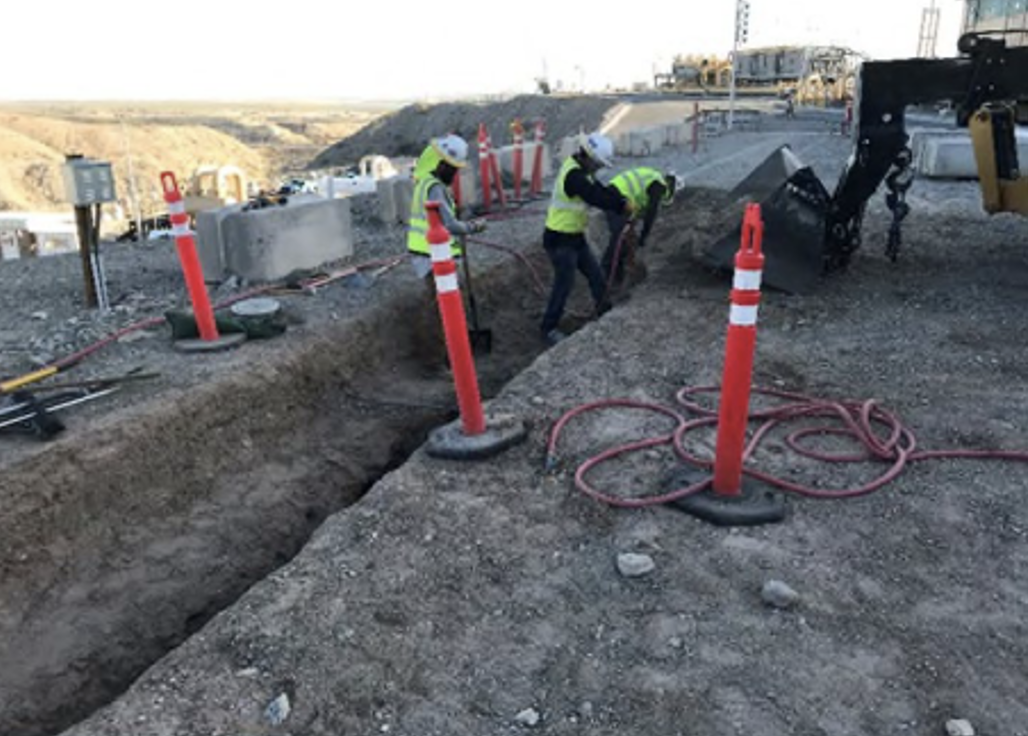
- Photograph showing hand excavation for installation of remedy pipelines M6 inside the Station. Photograph taken in May 2022.
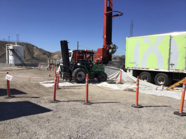
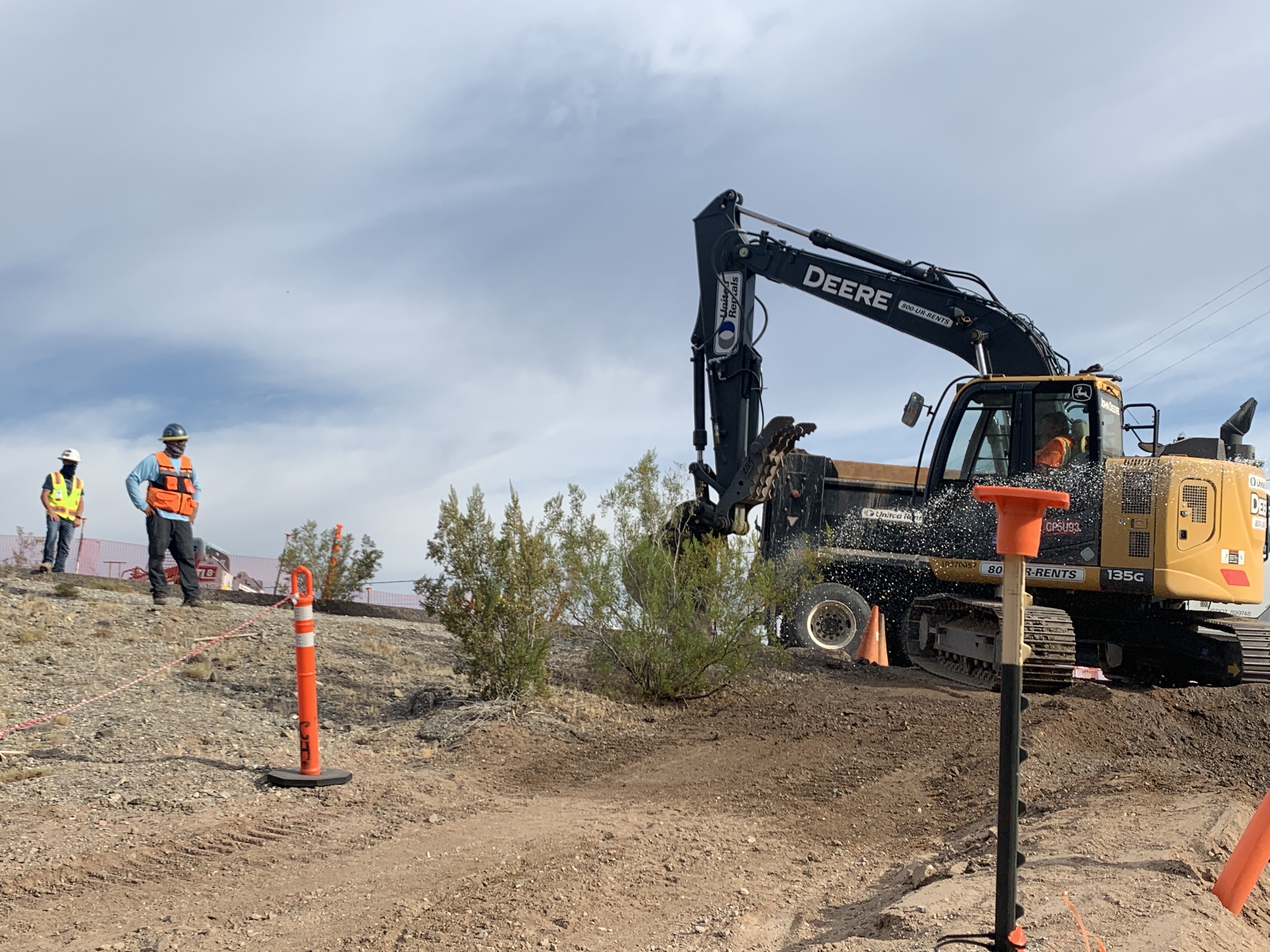
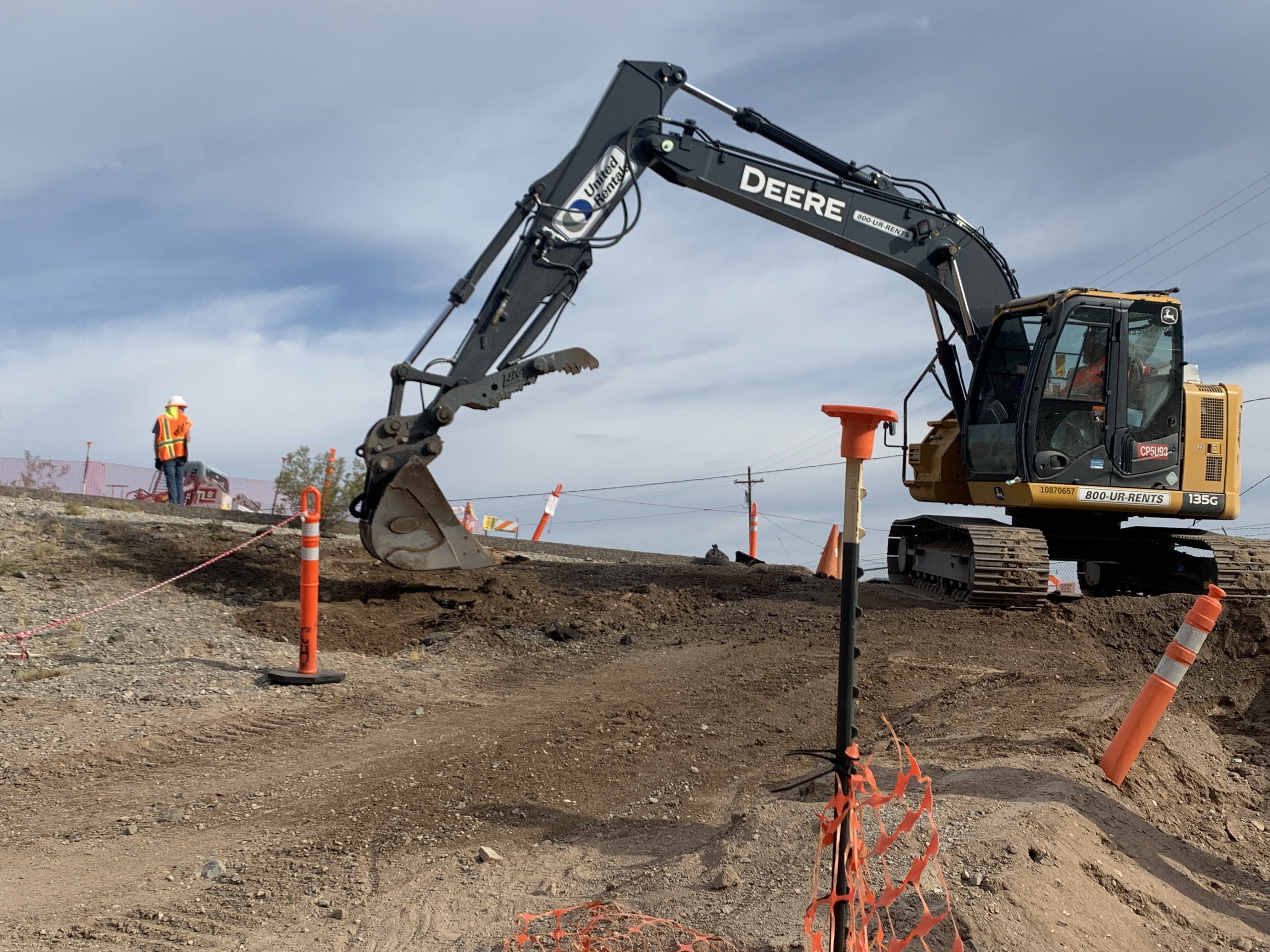
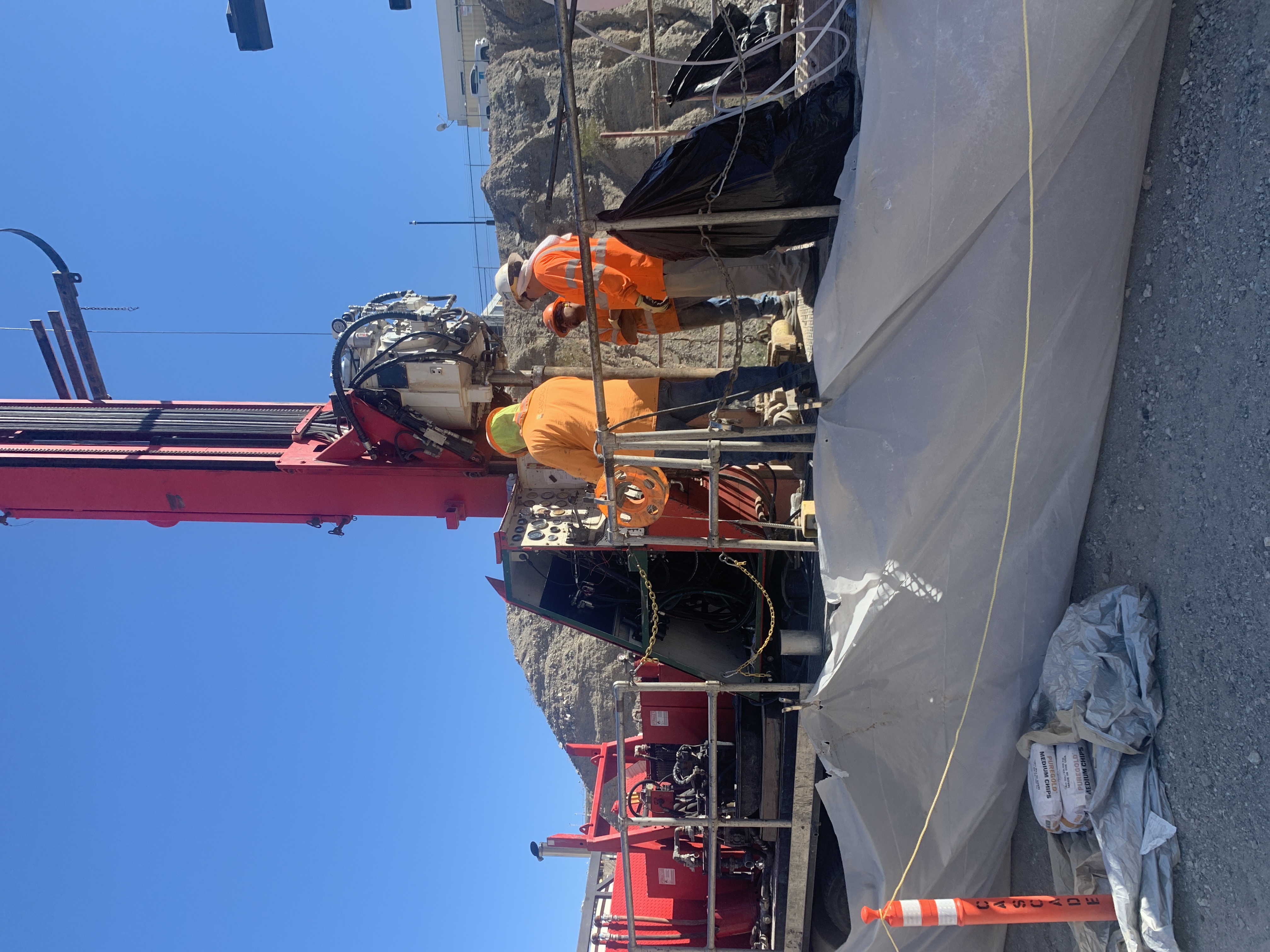
- Photograph showing drill rig at the Transwestern Bench. Photograph taken in March 2022.
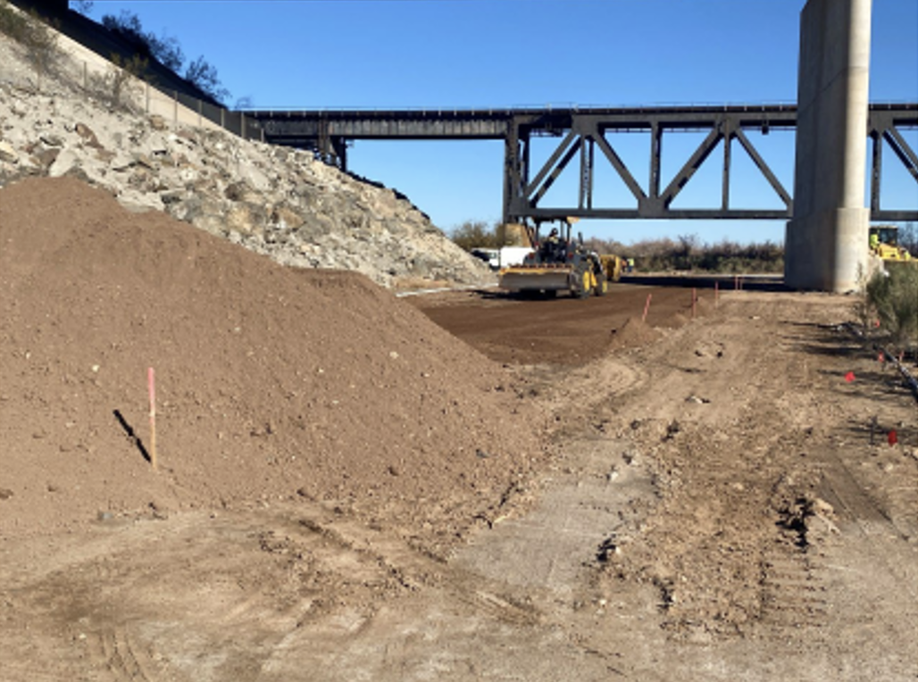
- Photograph showing removal of the soil cover and rework at C8-Alt. Photograph taken in February 2022.
- Photograph showing site preparation activities for revegetation at the floodplain. Photograph taken in January 2022.
- Photograph showing testing at the Electrical Node 4 in the floodplain. Photograph taken in December 2021.
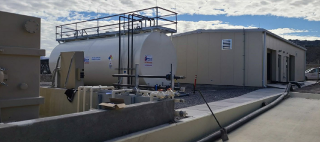
- Photograph showing the ethanol storage tank and Carbon Amendment Building on the MW-20 Bench. Photograph taken in November 2021.
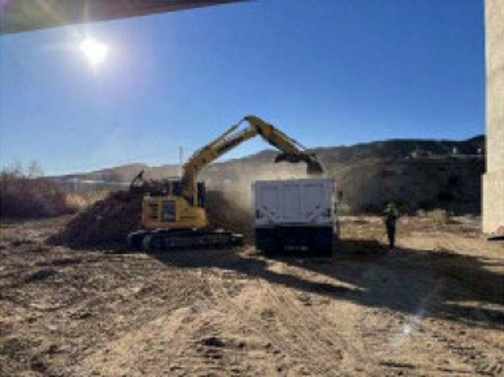
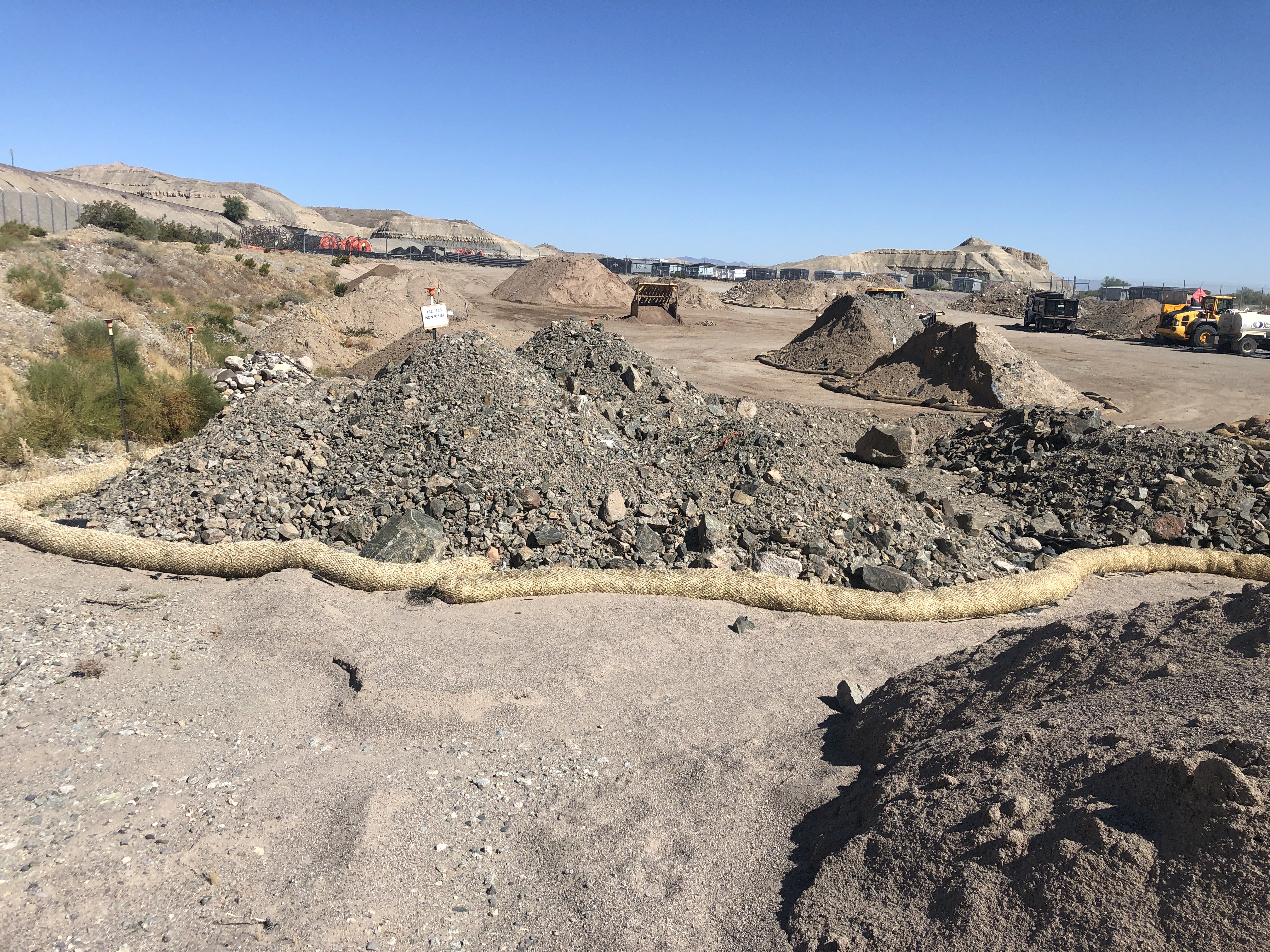
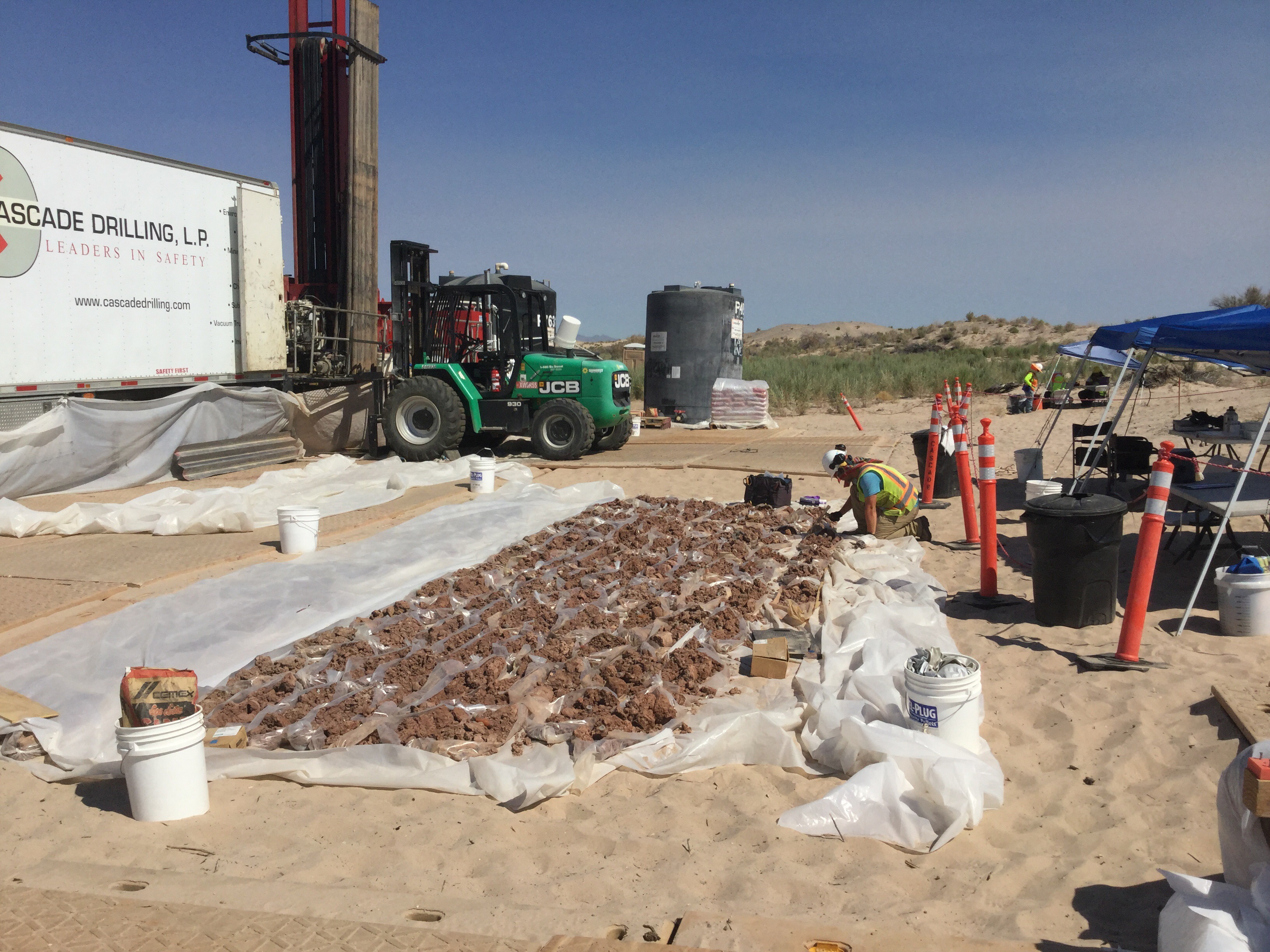
- Photograph showing clay (foreground) that was identified and recovered from recent processing of soil piles at the SPY. The clay is segregated/stockpiled and will be sampled in accordance with the Soil Management Plan. Photograph taken in October 2021.
- Photograph showing wire pull activities at the Station. Photograph taken in September 2021.
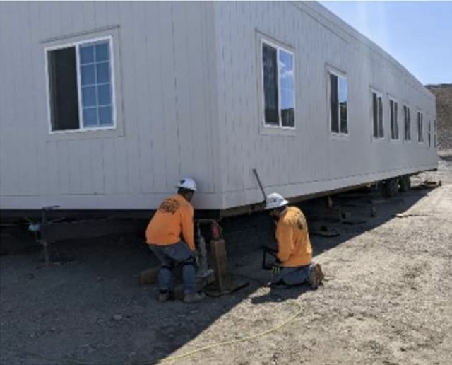
- Photograph showing installation of new trailer at SPY. Photograph taken in August 2021.
- Photograph showing compacting on the river side of MW-20 Bench. Photograph taken in July 2021.
- Photograph showing crew moving pipe to allow backfill alongside of unloading pad. Photograph taken in June 2021.
- Photograph showing mechanical installation inside the Carbon Amendment Building. Photograph taken in May 2021.
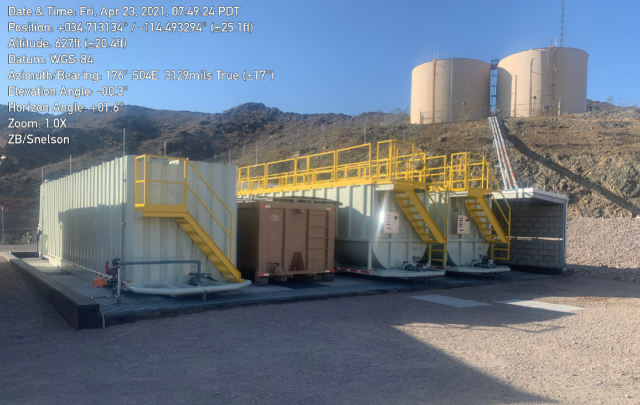
- Photograph of the water conditioning tank farm at the Topock Compressor Station. Photograph taken April 23, 2021.
- Photograph showing lids and earthfill installation at IRZ-29. Photograph taken in March 2021.
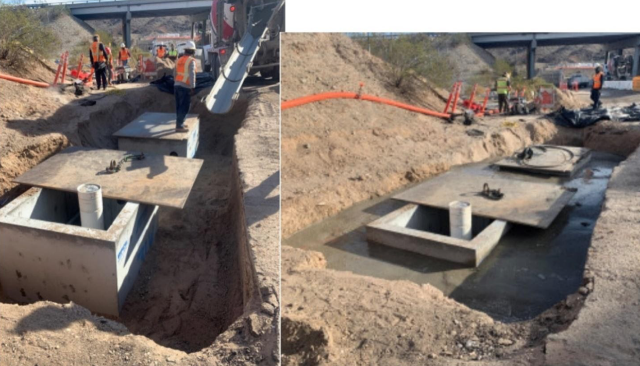
- Photographs of IRZ-31 showing before concrete backfill and after concrete backfill. Photographs were taken February 8, 2021.
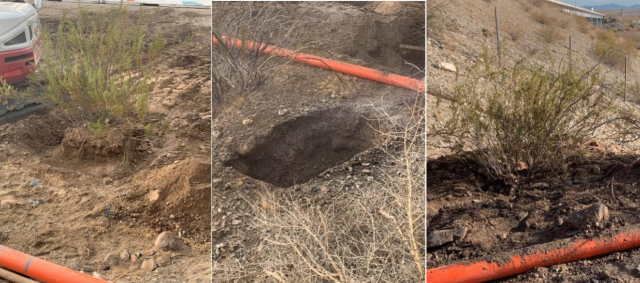
- Photograph of creosote bush before transplant, new location for the creosote bush before transplant, and creosote bush after transplant. Photograph taken January 6, 2021.
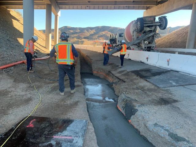
- Concrete pour to encase piping installed within Caltrans right of way. Photograph taken week of December 21, 2020.
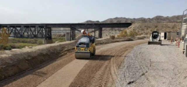
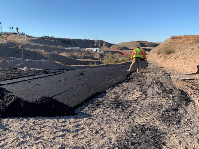
- Paving to protect remedy pipeline installed on steep slope. Photograph taken November 10, 2020.
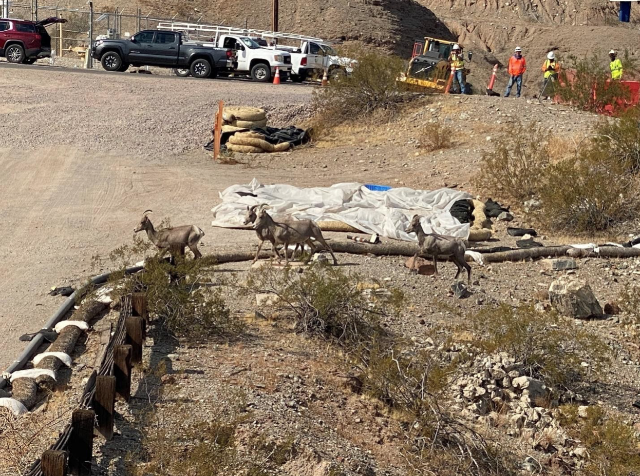
- Photograph of herd of bighorn sheep onsite. The herd consisted of two rams (a Class IV and a Class I), nine ewes and three yearlings. Construction work stopped when the bighorn were within 125 feet of activities. Photograph taken November 2, 2020.
- Photograph of the building at the MW-20 Tank Farm. Photograph taken January 2021.
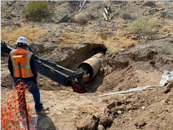
- Photograph of the completion of the drilling of the pipeline under the National Trails Highway (using the jack and bore method). Photograph taken week of August 24, 2020.
- Vegetation clearance during pipeline construction. Photographs show before and after removal. Photographs were taken June 25, 2020.
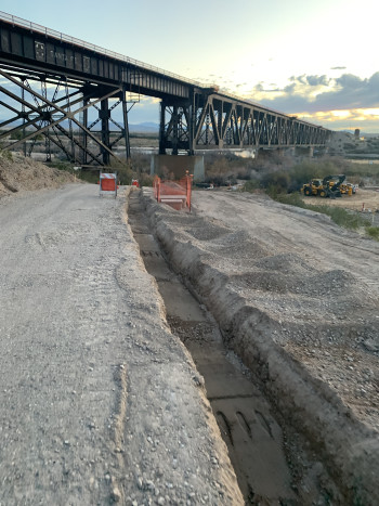
- Backfilling of a trench with remedy pipeline. Photograph taken July 31, 2020.
- Photograph of soil piles in the Soil Processing Yard. Photograph taken May 20, 2020.
- Photograph of an open pipeline trench before the pipeline was installed. Photograph taken January 28, 2020.
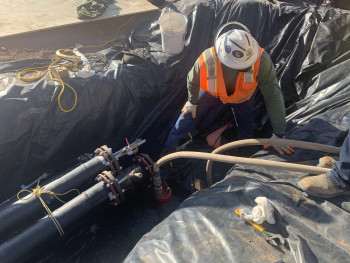
- Photograph of hydrostatic testing of pipelines. Photograph taken January 22, 2020.
- Photograph of workers pouring a concrete apron for well completion at MW-S. View is facing northeast. Photograph taken January 10, 2020.
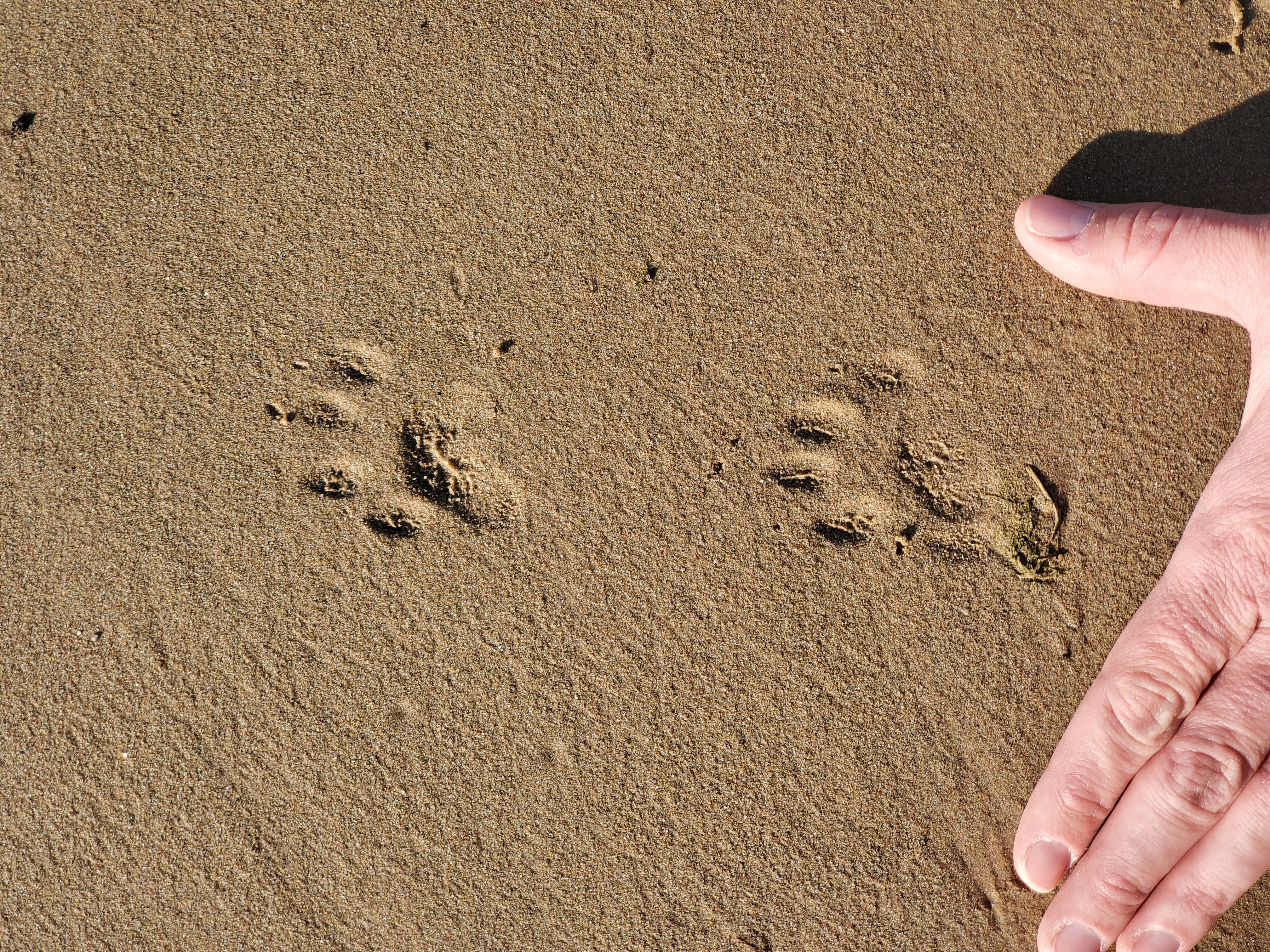
- Photograph of ring-tailed cat footprints on the shore near MW-Y' in Arizona. Photograph taken November 6, 2019.
- Photograph of drilling well MW-S. View is facing east. Photograph taken October 22, 2019.
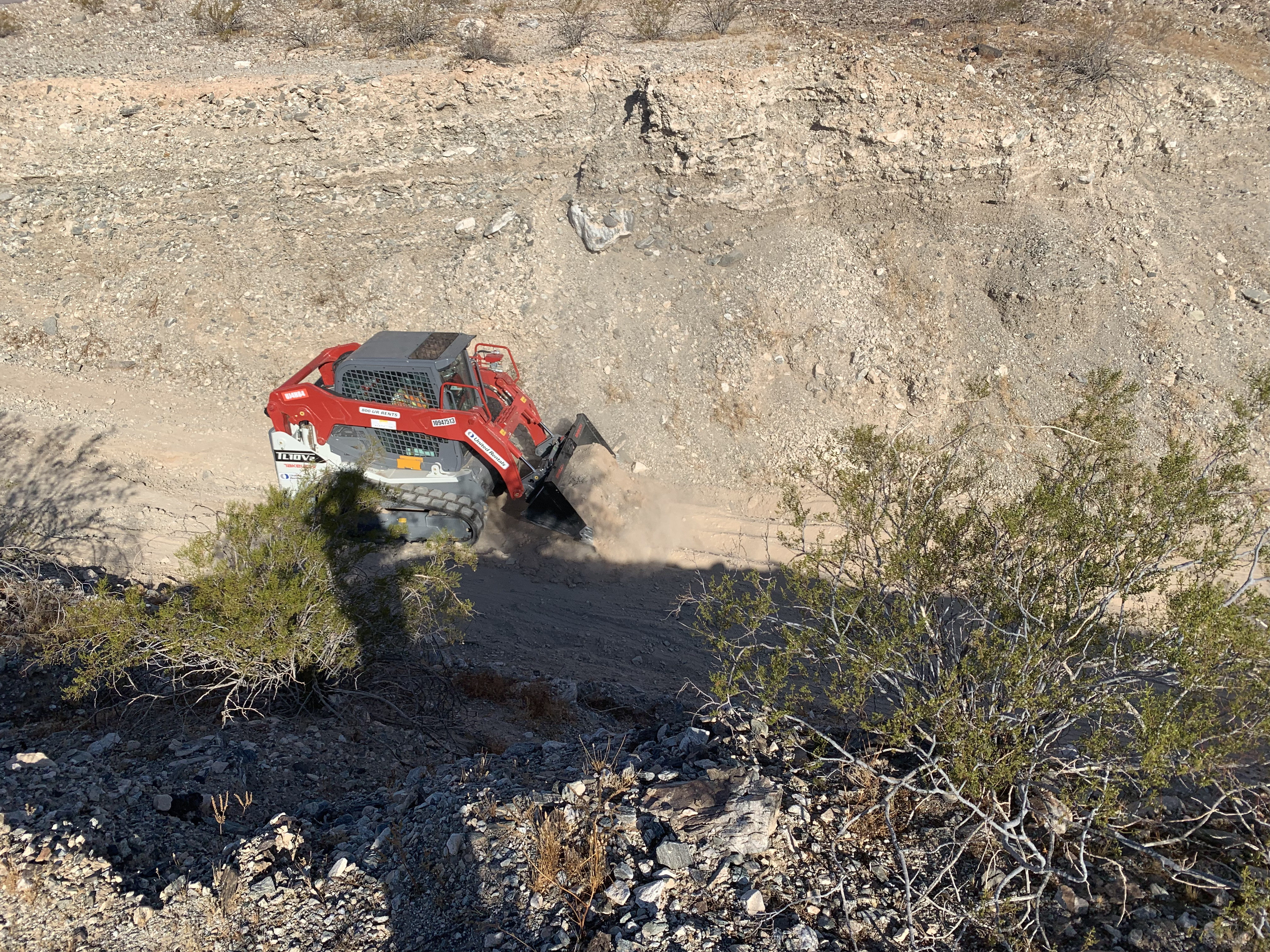
- Photograph of bobcat fixing the access road to MW-S. Photograph taken September 12, 2019.
- Photograph of workers and drillers drilling at IRZ-21. View is facing East. Photograph taken August 28, 2019.
- Photograph of core samples from MW-X. View is facing west. Photograph taken July 17, 2019.
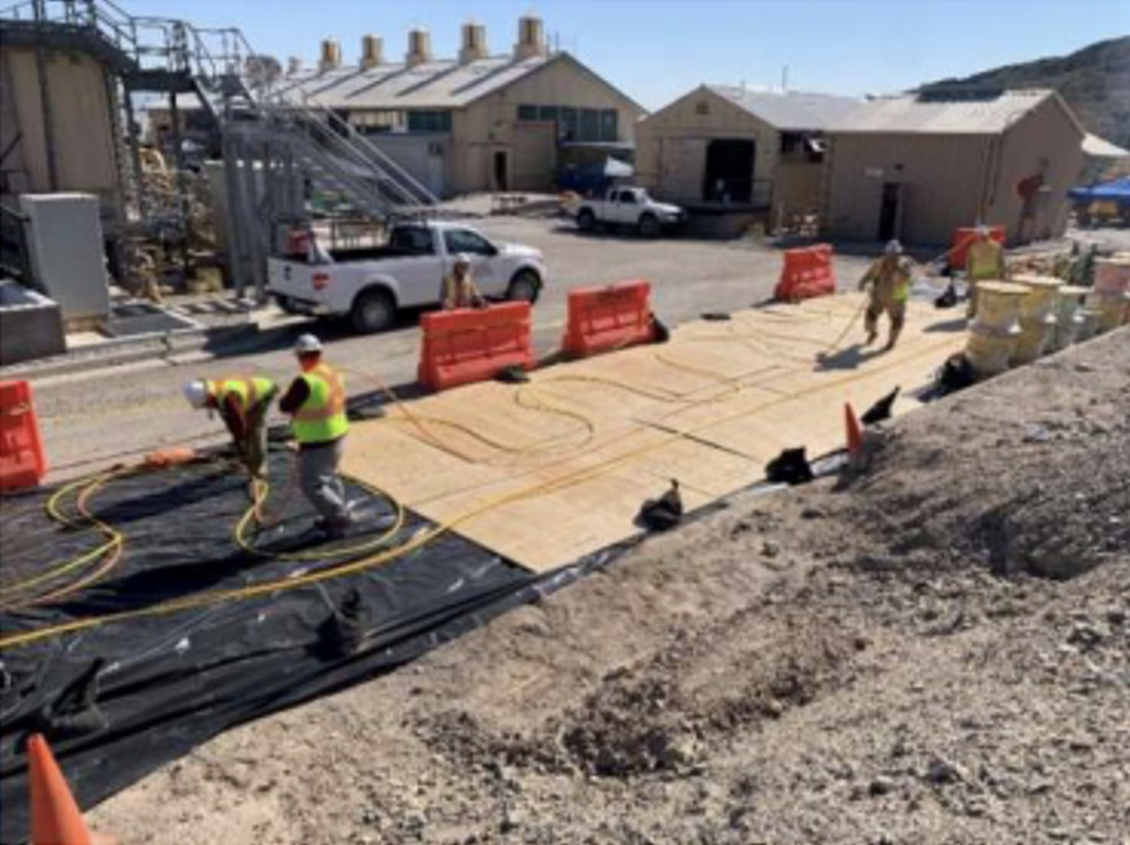
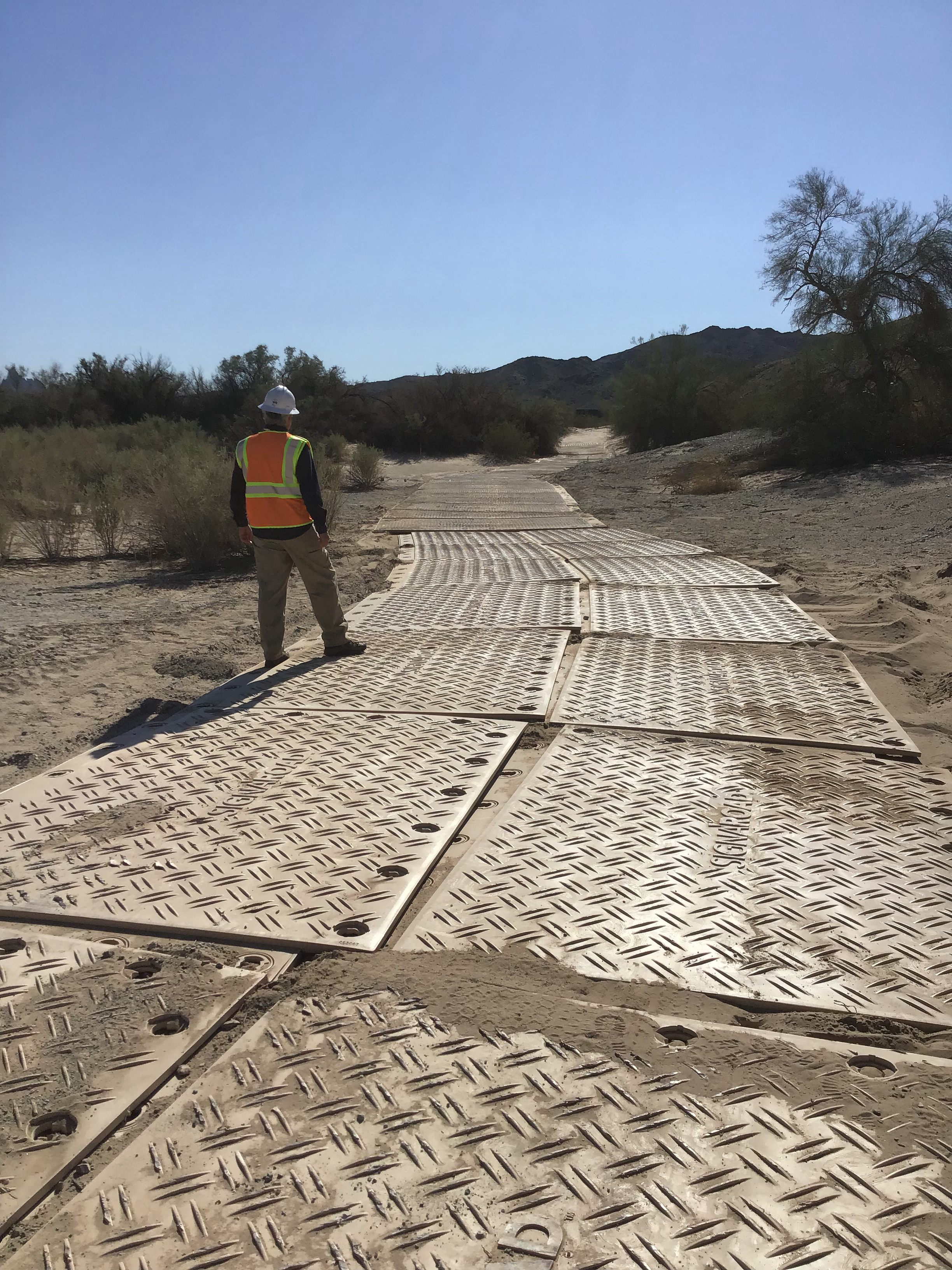
- Mats were placed on the floodplain to facilitate access for drill rigs and construction equipment/vehicles over loose sand.
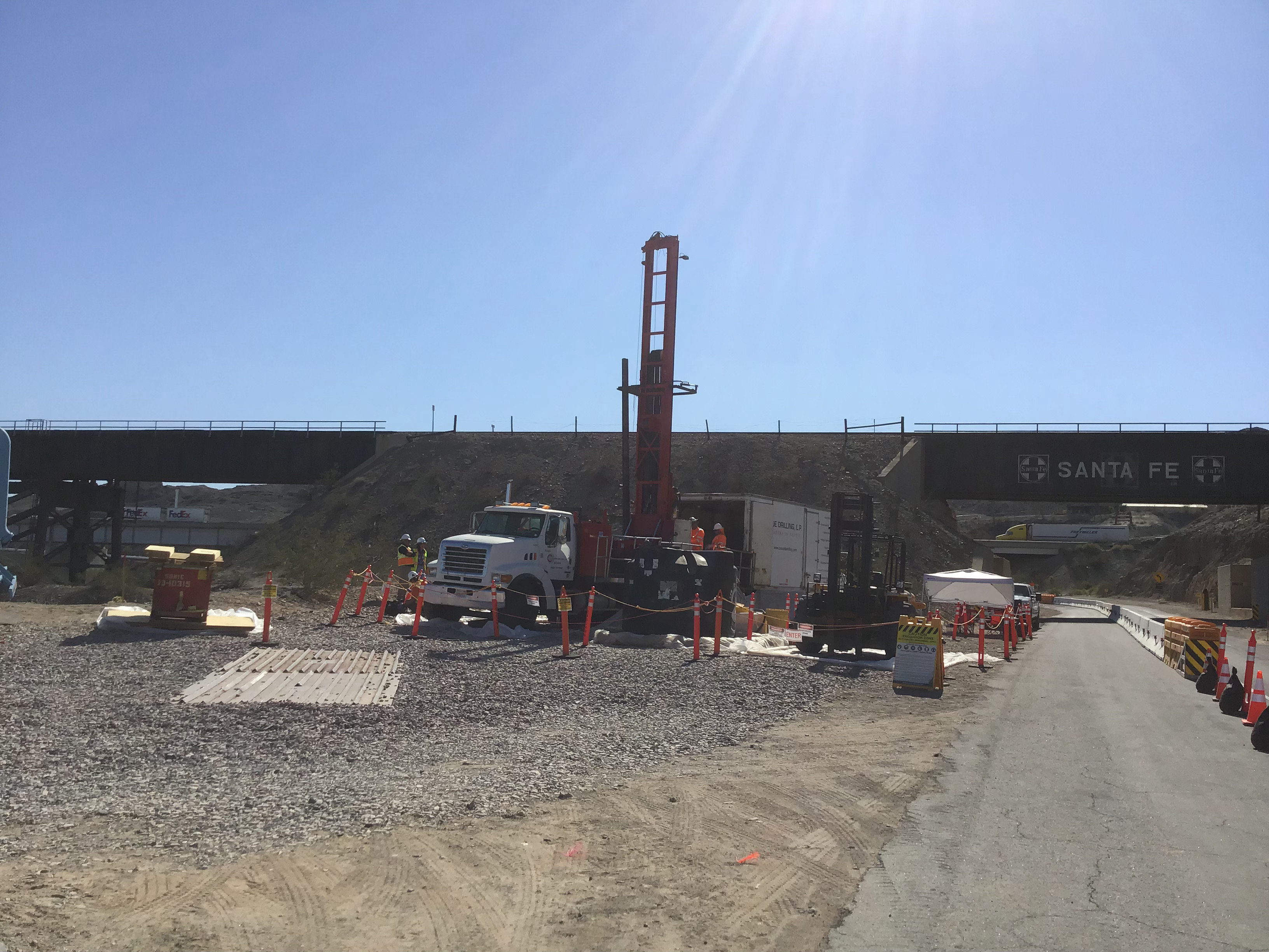
- Drilling of monitoring wells started in November 2018.
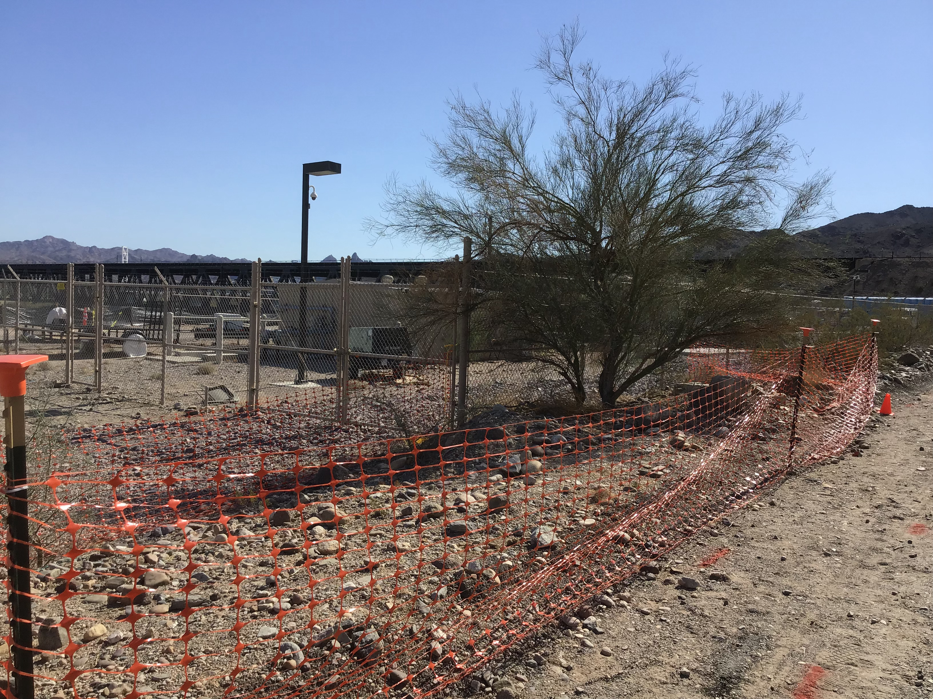
- Installed protection measures for sensitive biological and cultural resources. For example, in the image below, snow fence was temporarily installed to protect sensitive plants (such as the Palo Verde plant) during construction activities.
- Image of the green stakes used by the biologist to show biological clearance of an area.
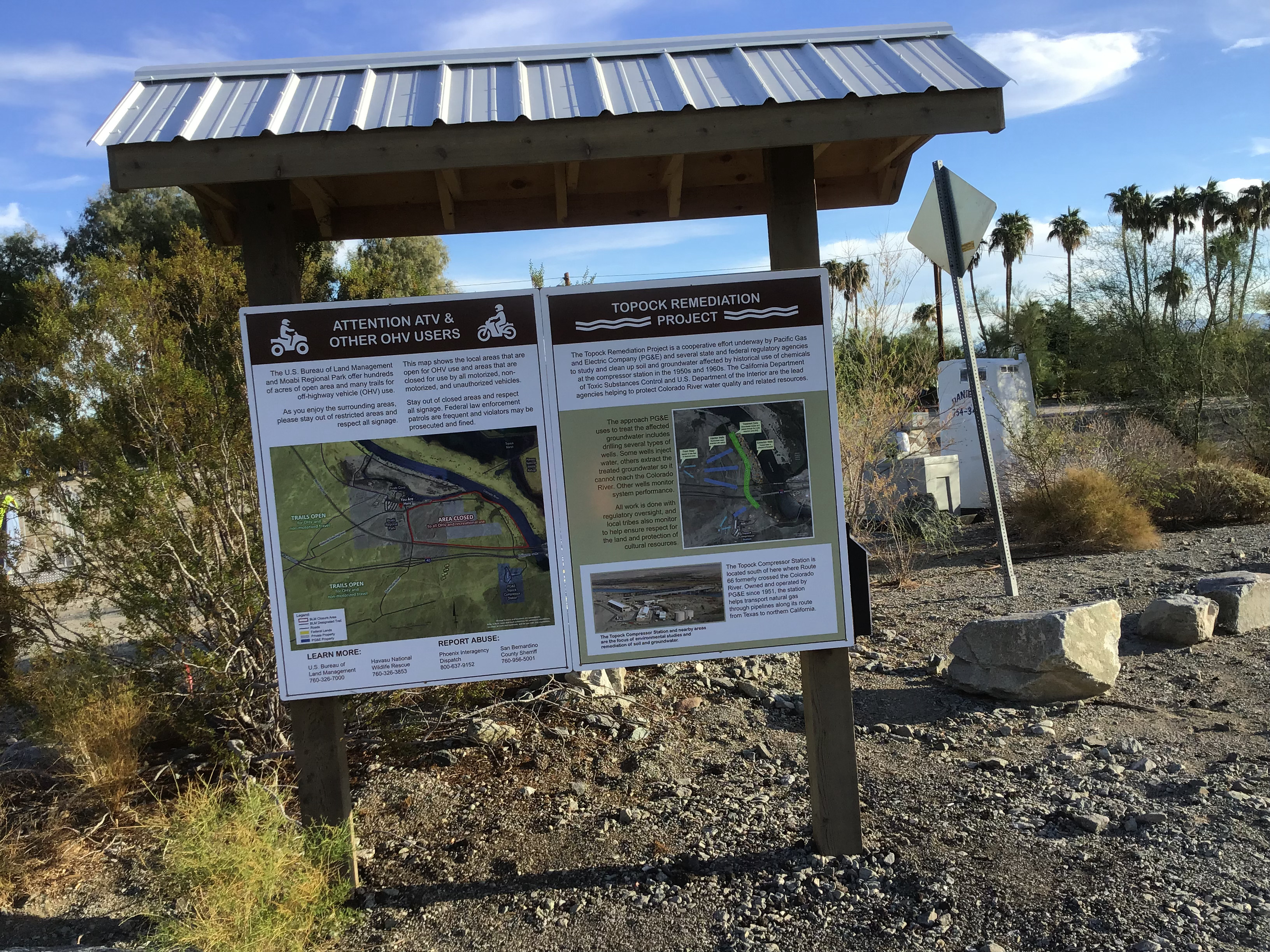
- Installation of a Kiosk to provide information about the project.
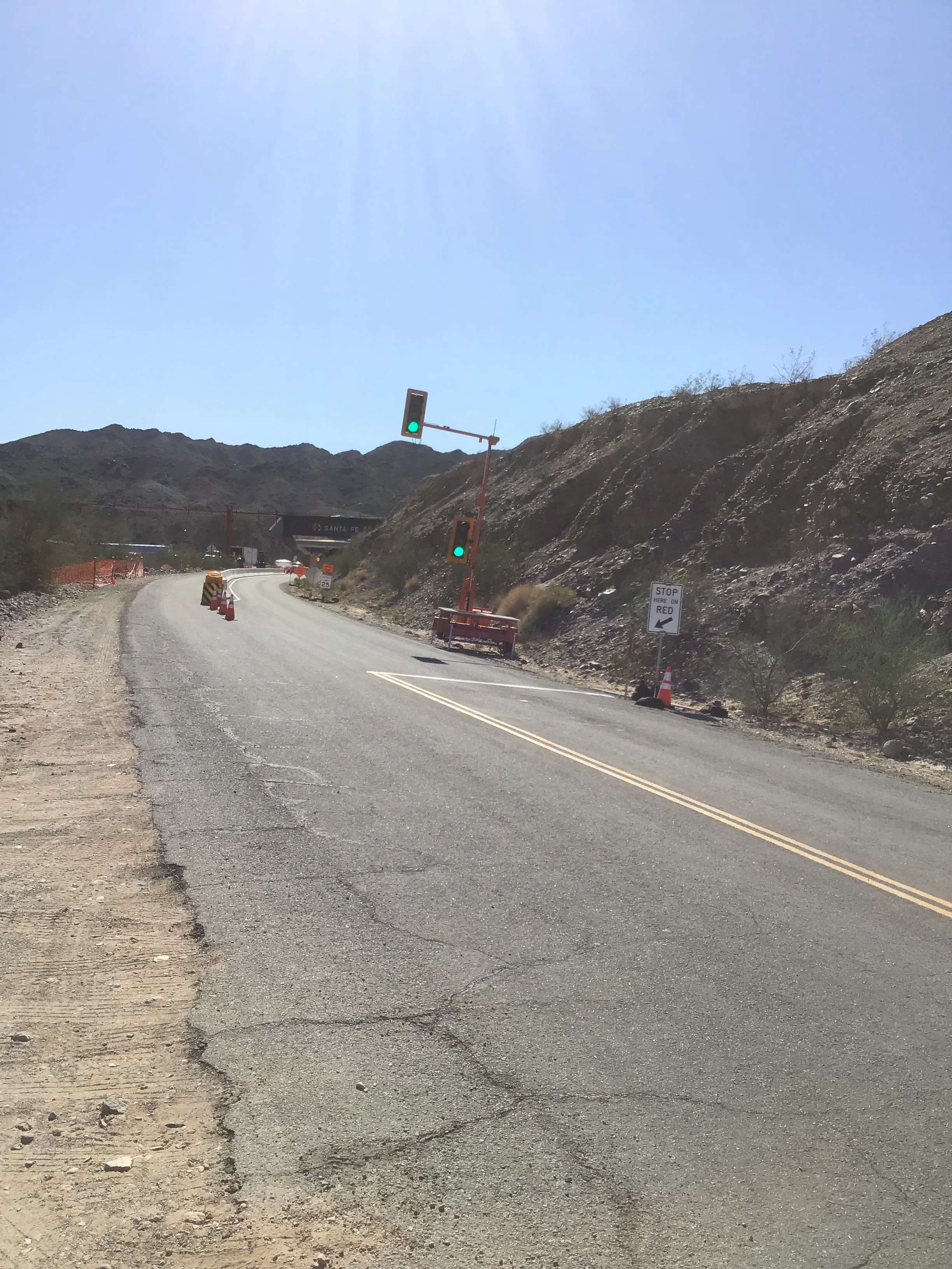
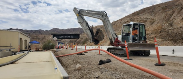
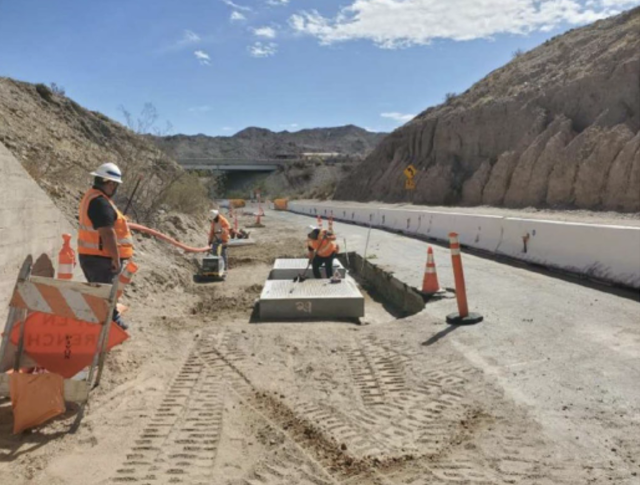
- Installed traffic control on National Trails Highway (NTH) to facilitate construction activities along the south end of NTH.